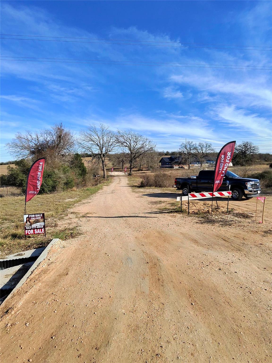
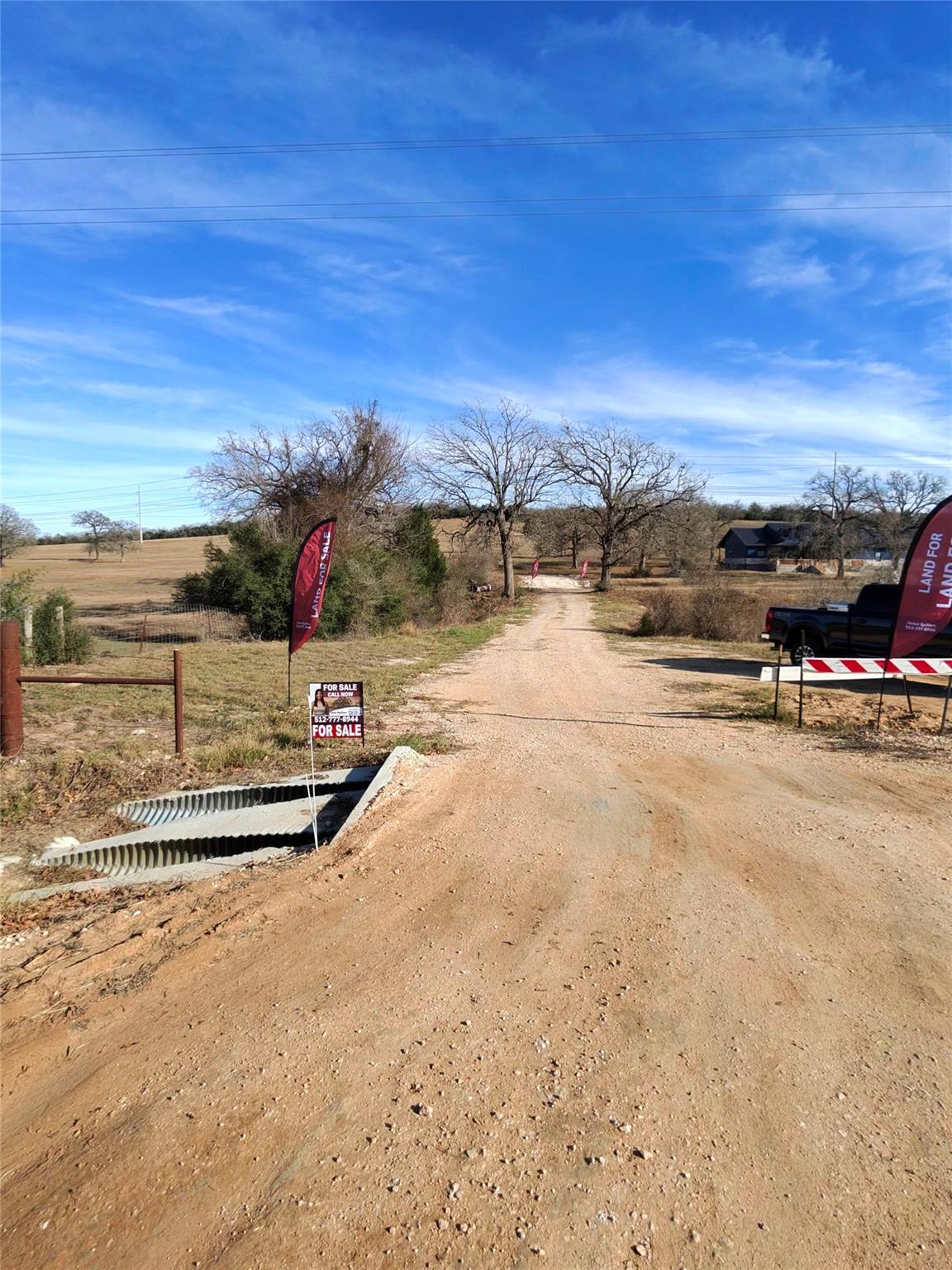
View of shared driveway headed to lot from CR 481
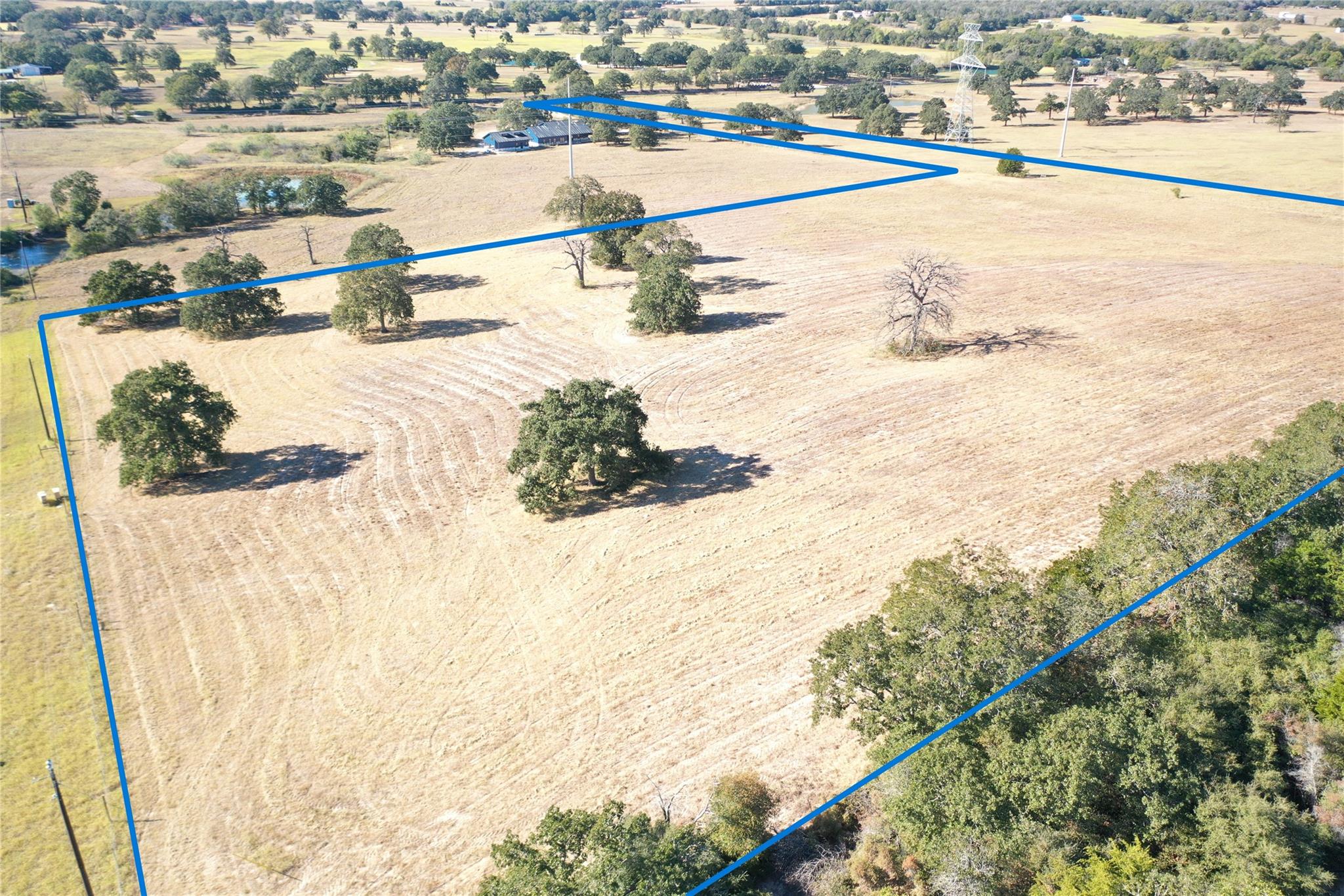
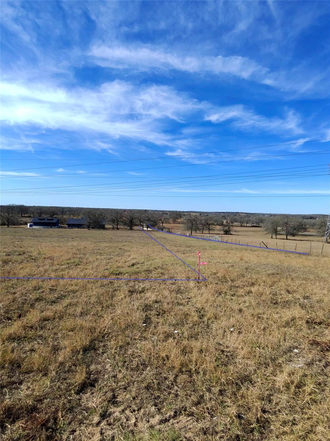
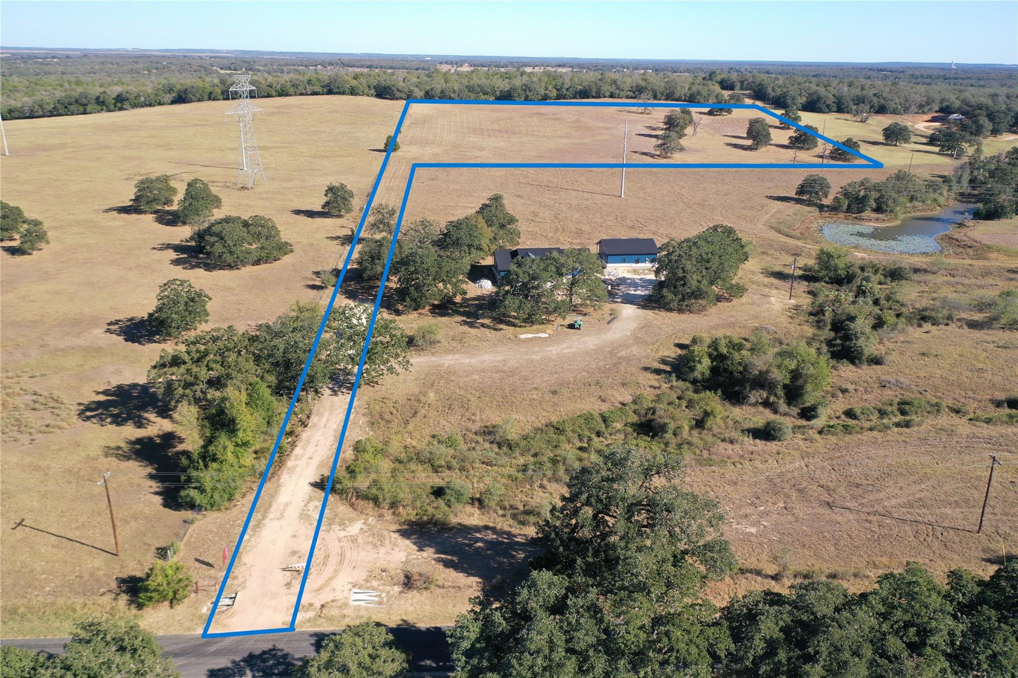
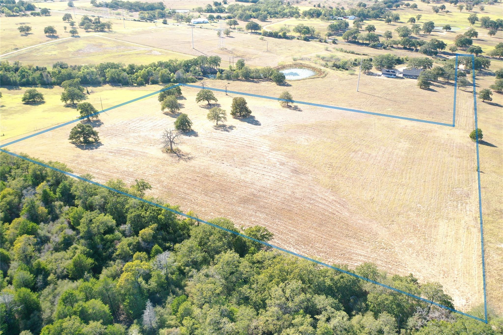
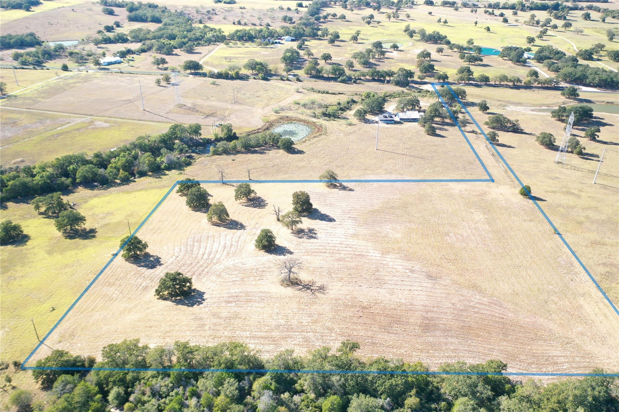
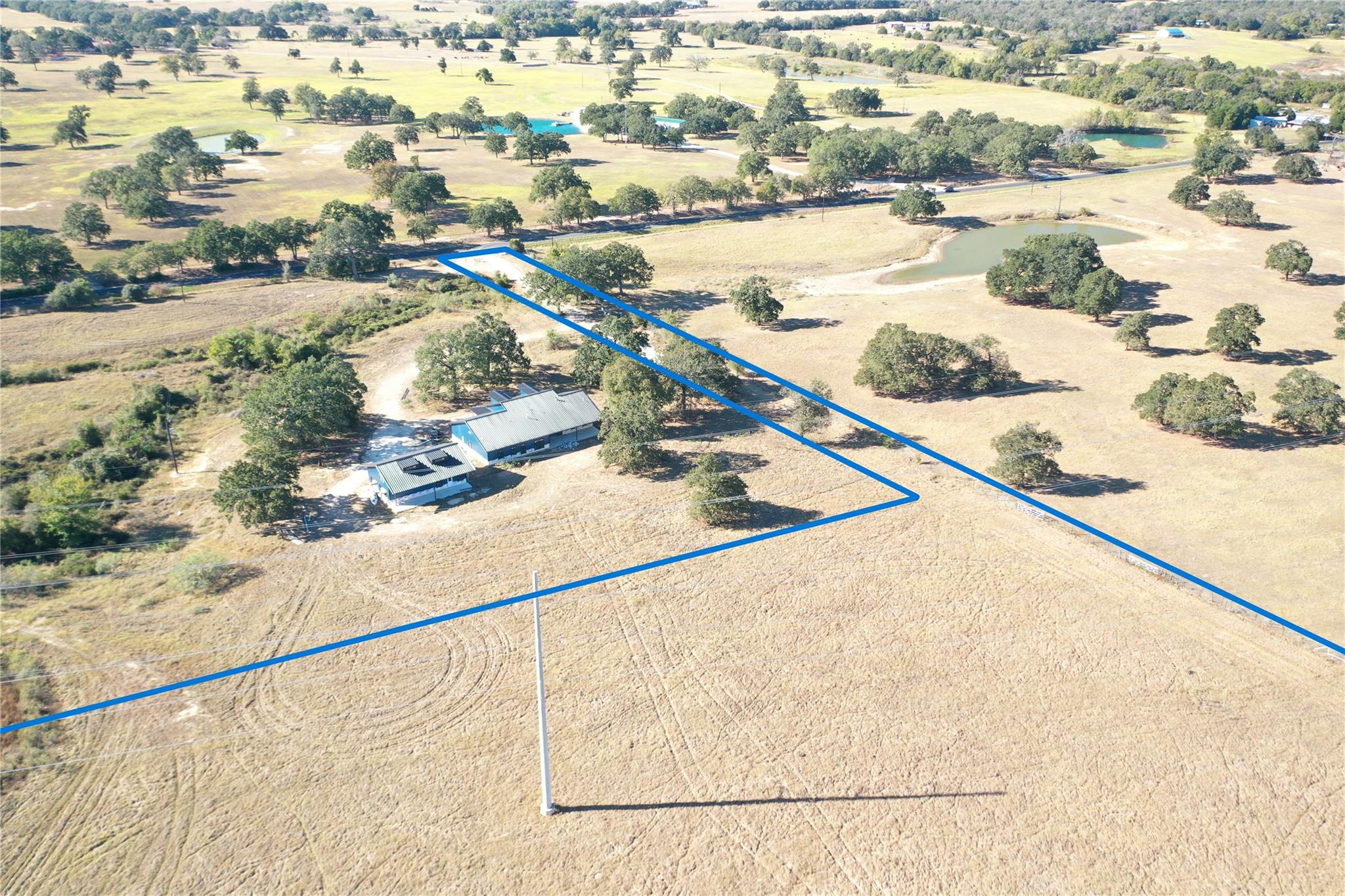
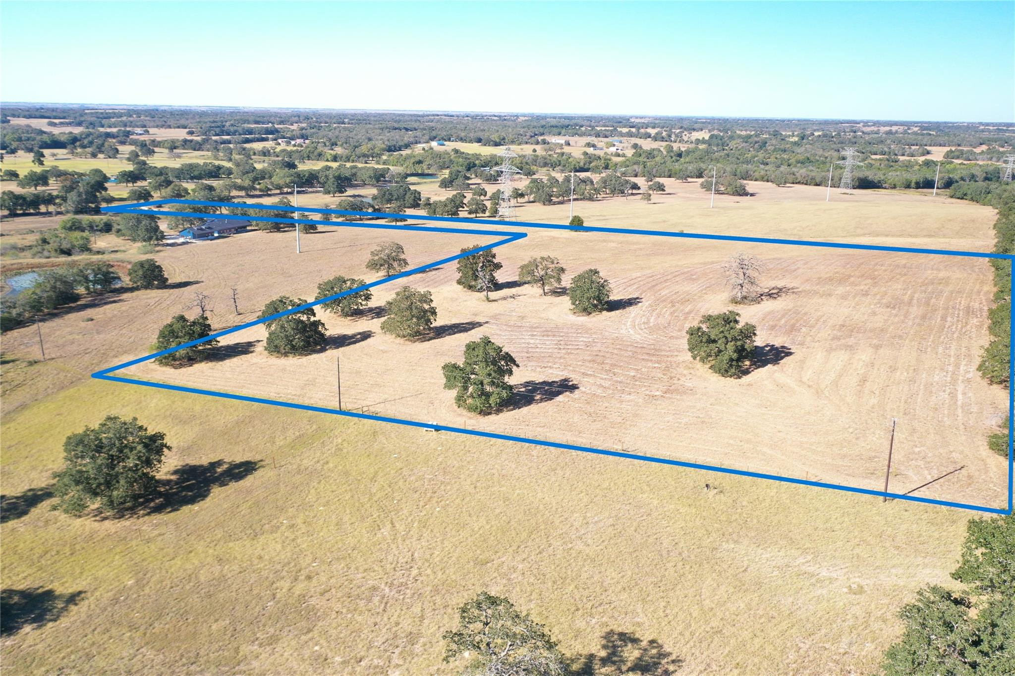
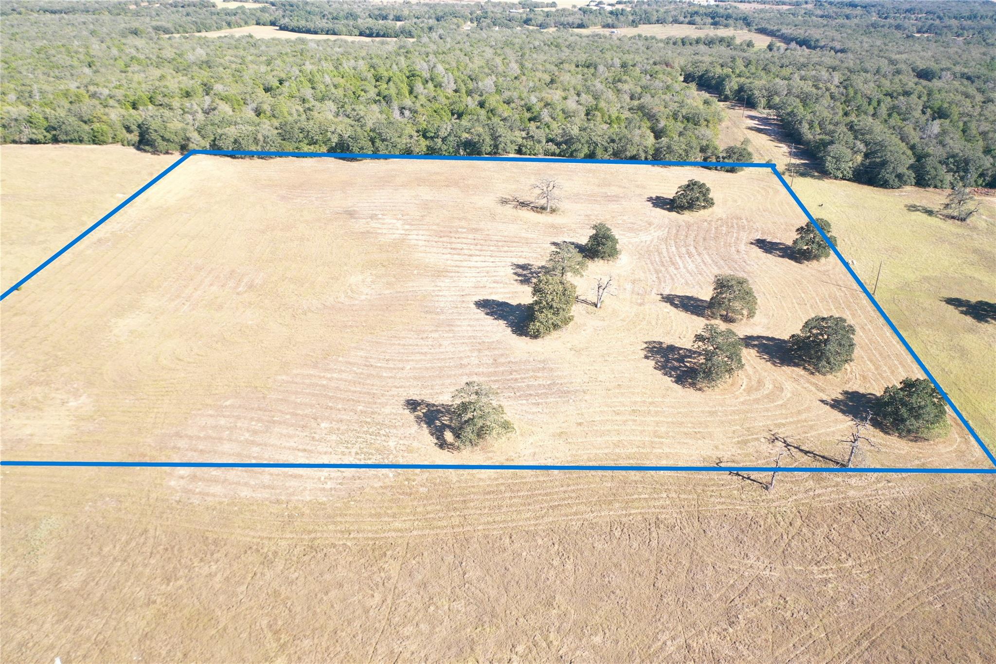
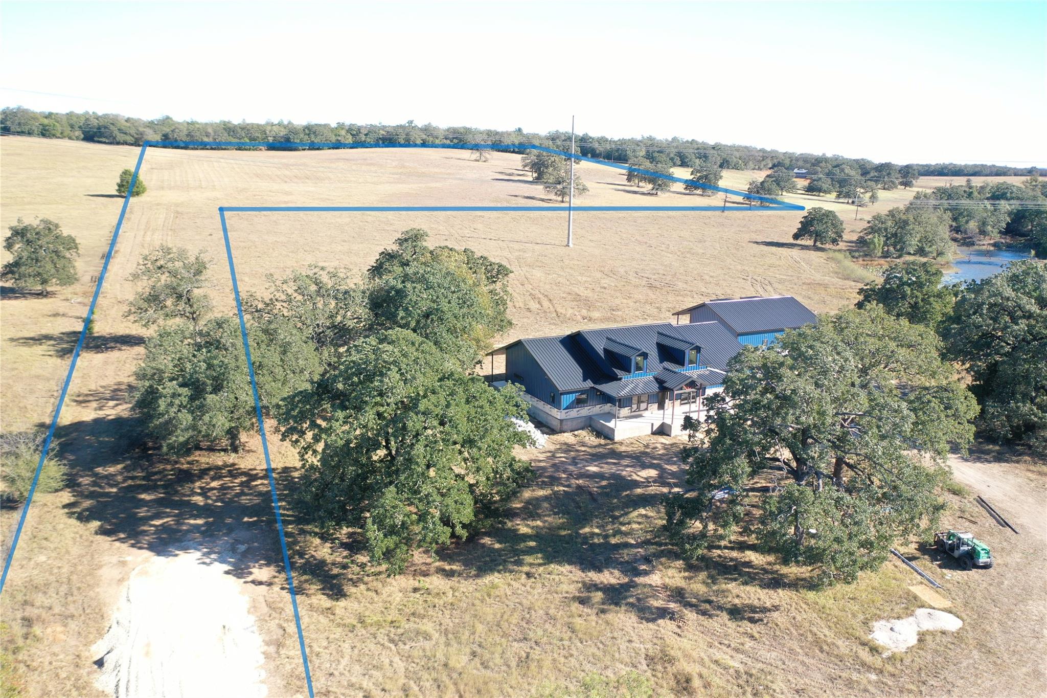
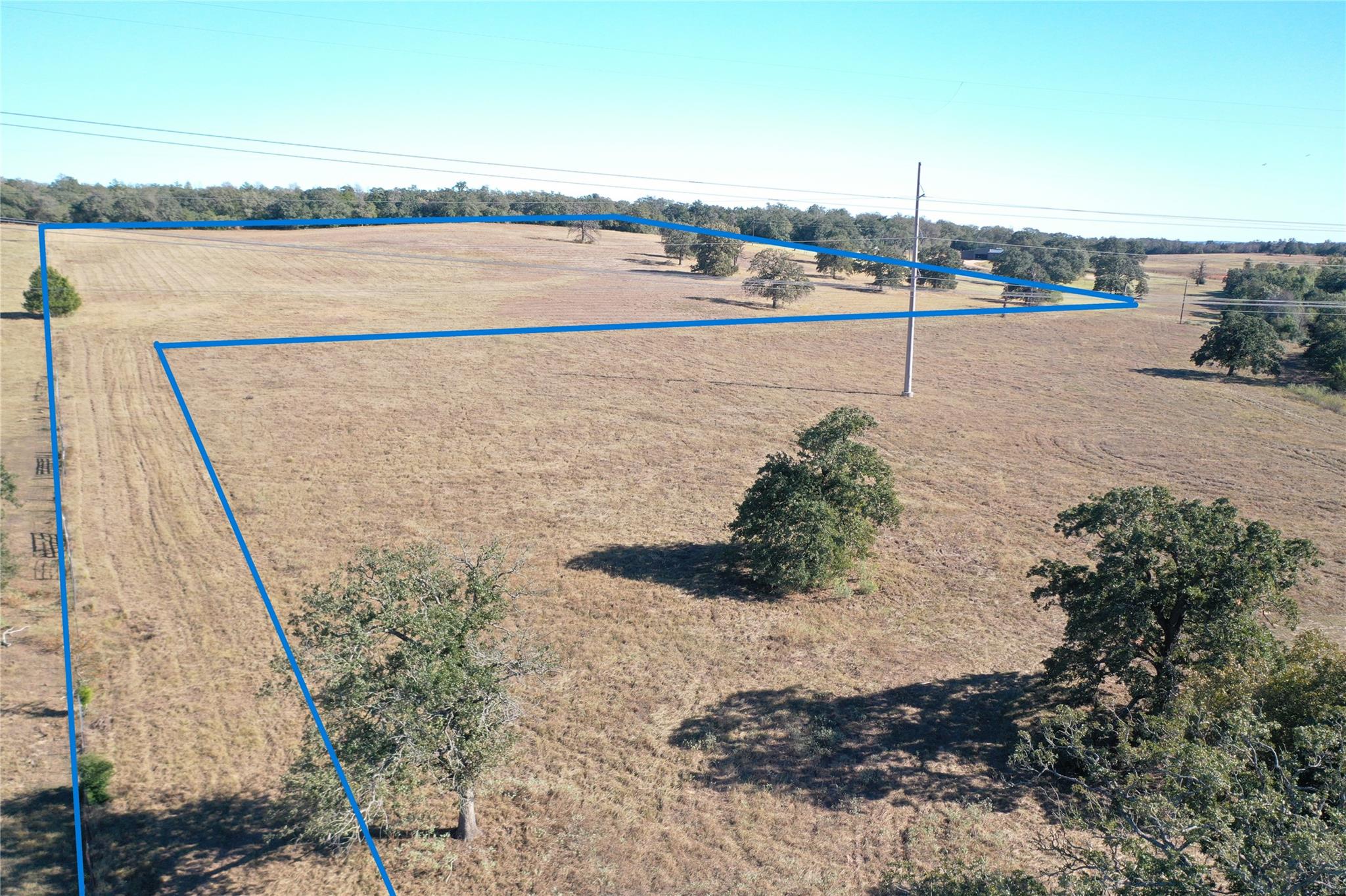
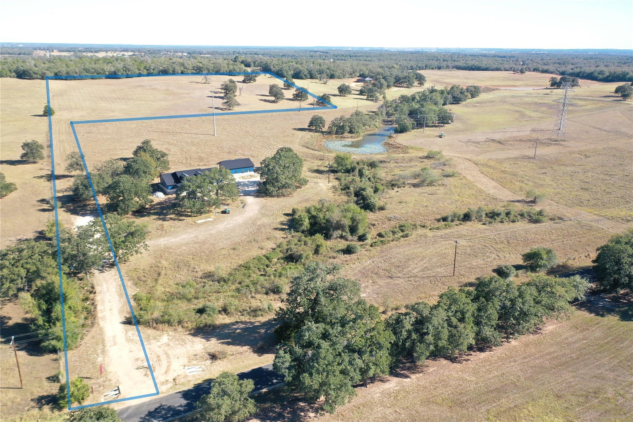
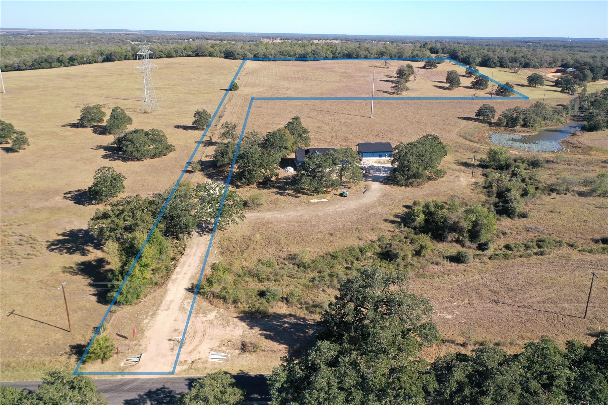
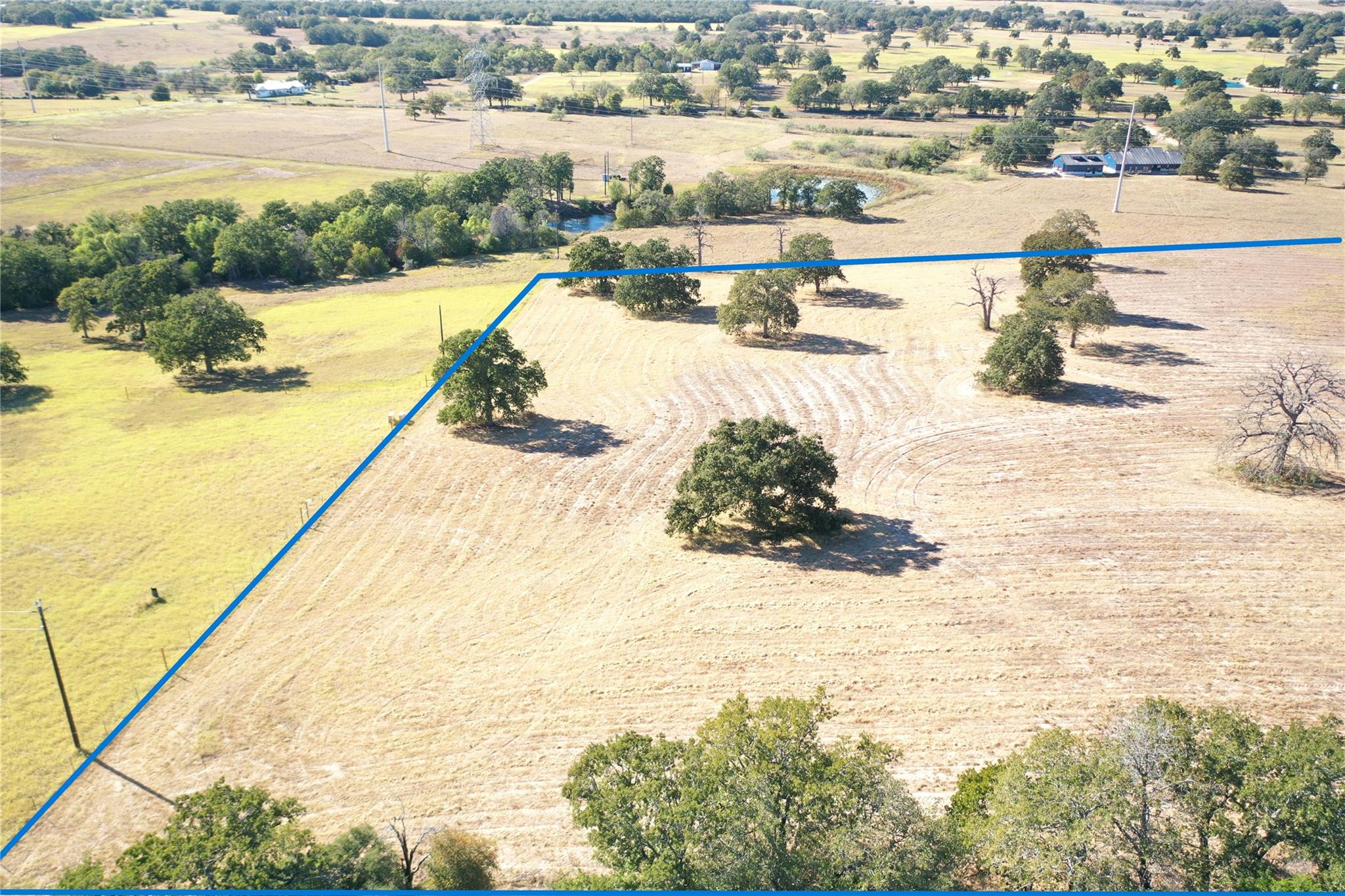
Lot lines shown in photos are approximate and for illustrative purposes only. The attached survey is the governing document and controls all boundary locations.
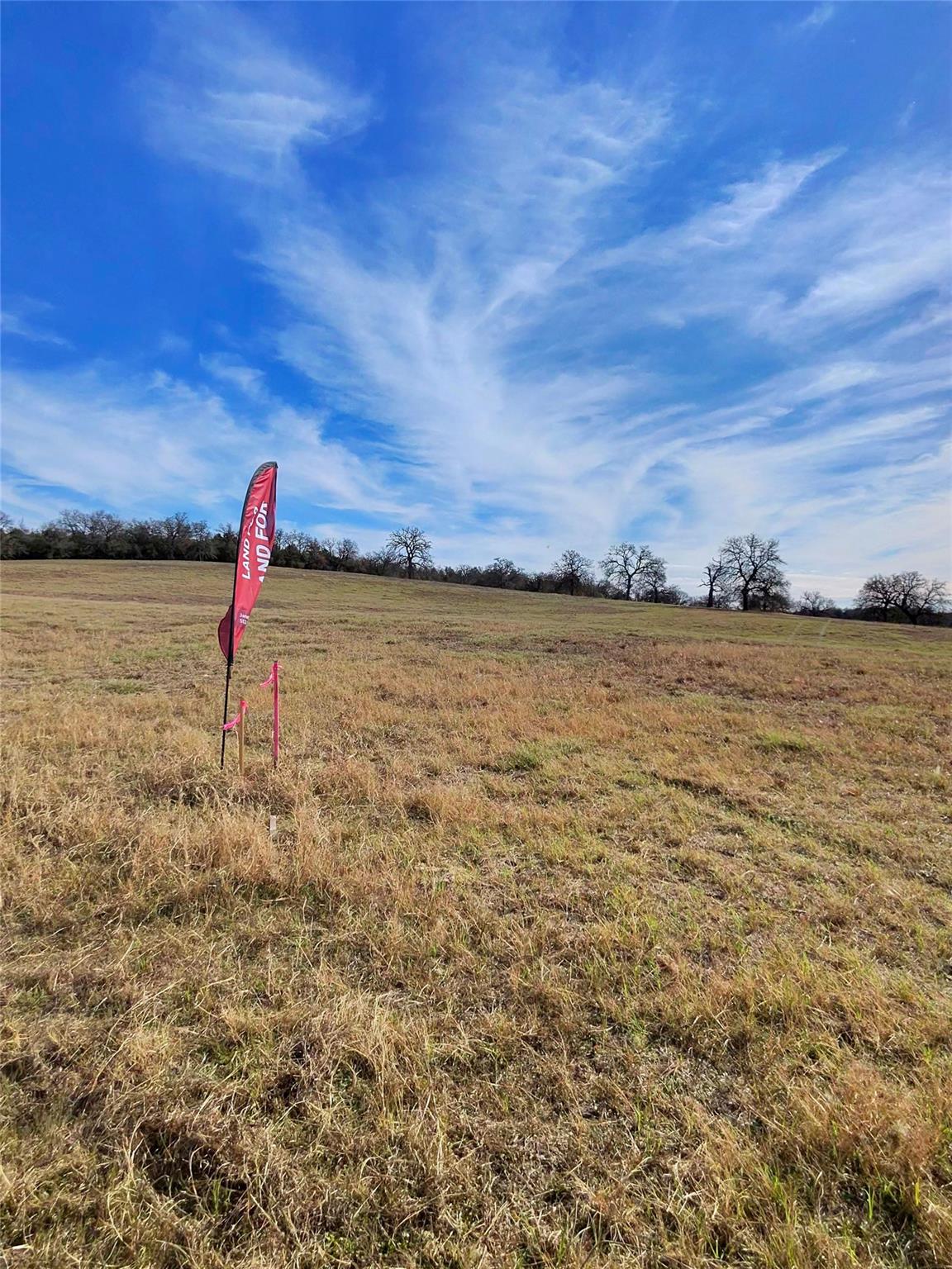
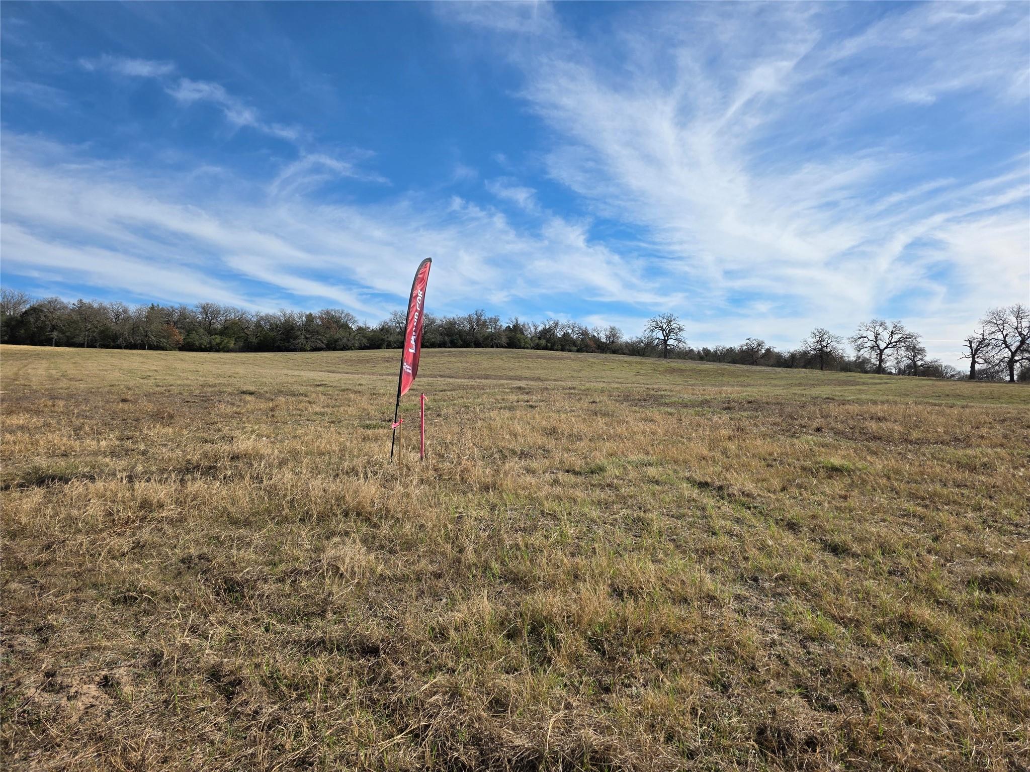
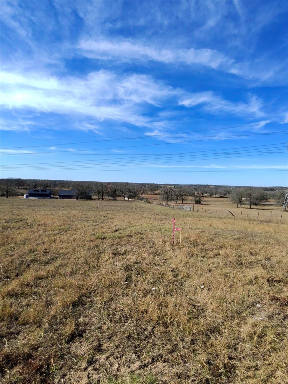
You can see the survey stakes here marking the lot boundaries
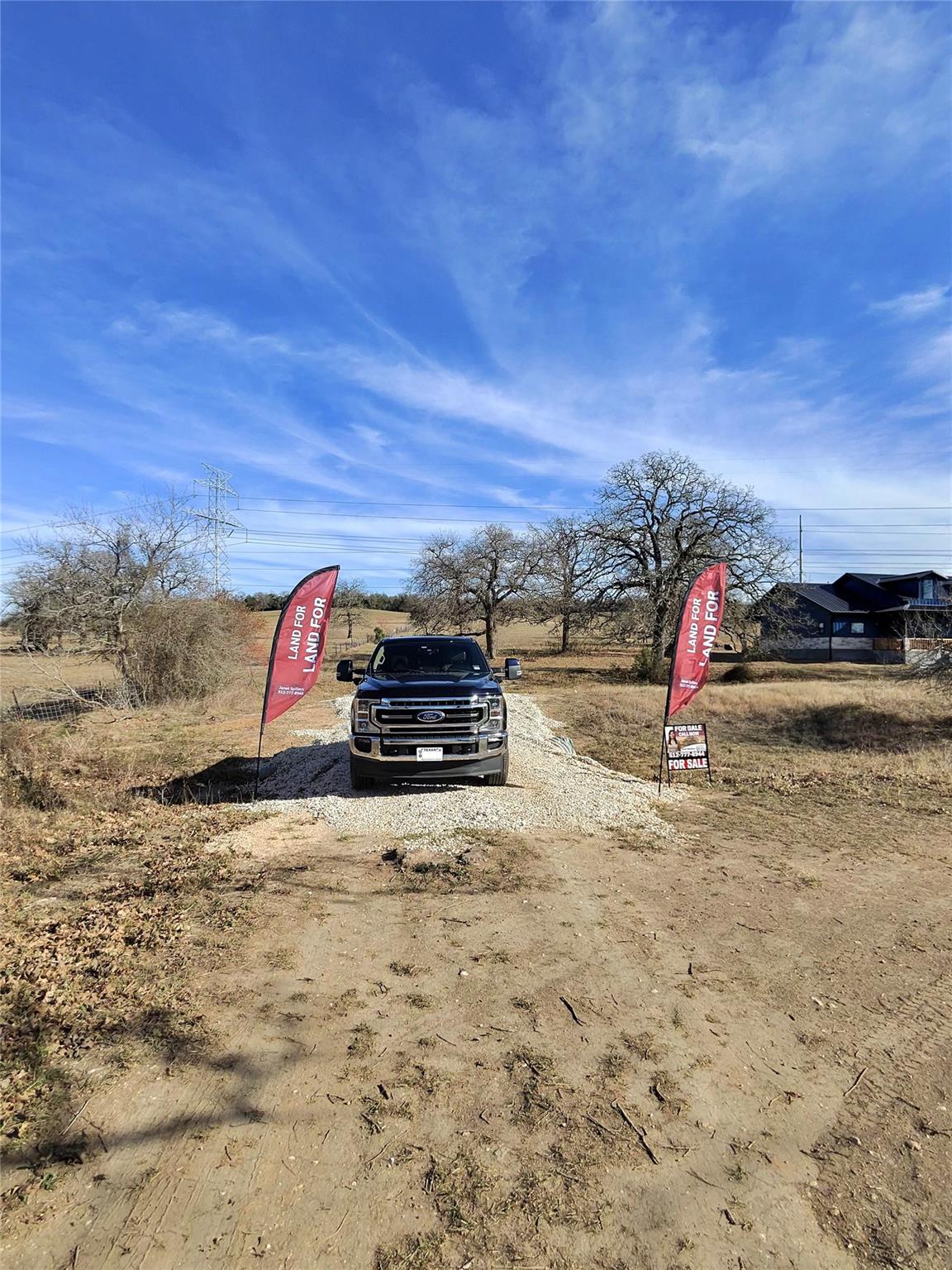
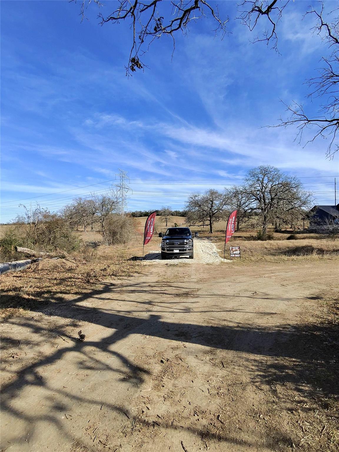
View of shared and private driveway
Driveway is Shared up to a point then solely owned by Tract 1
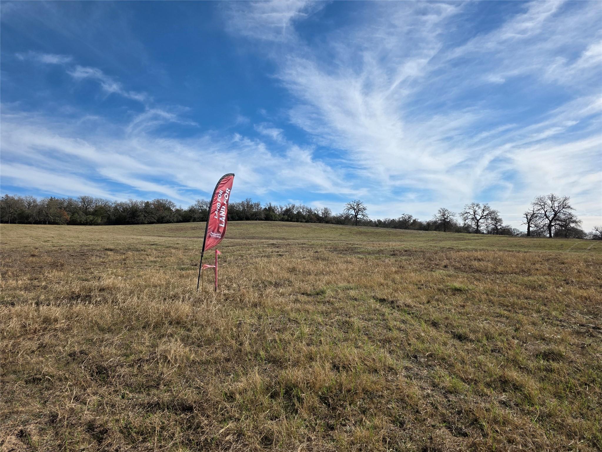
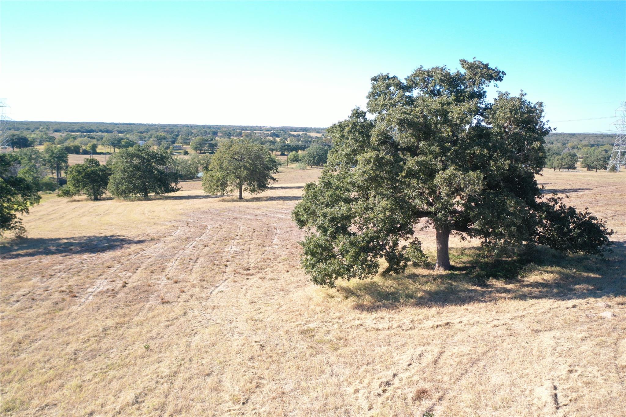
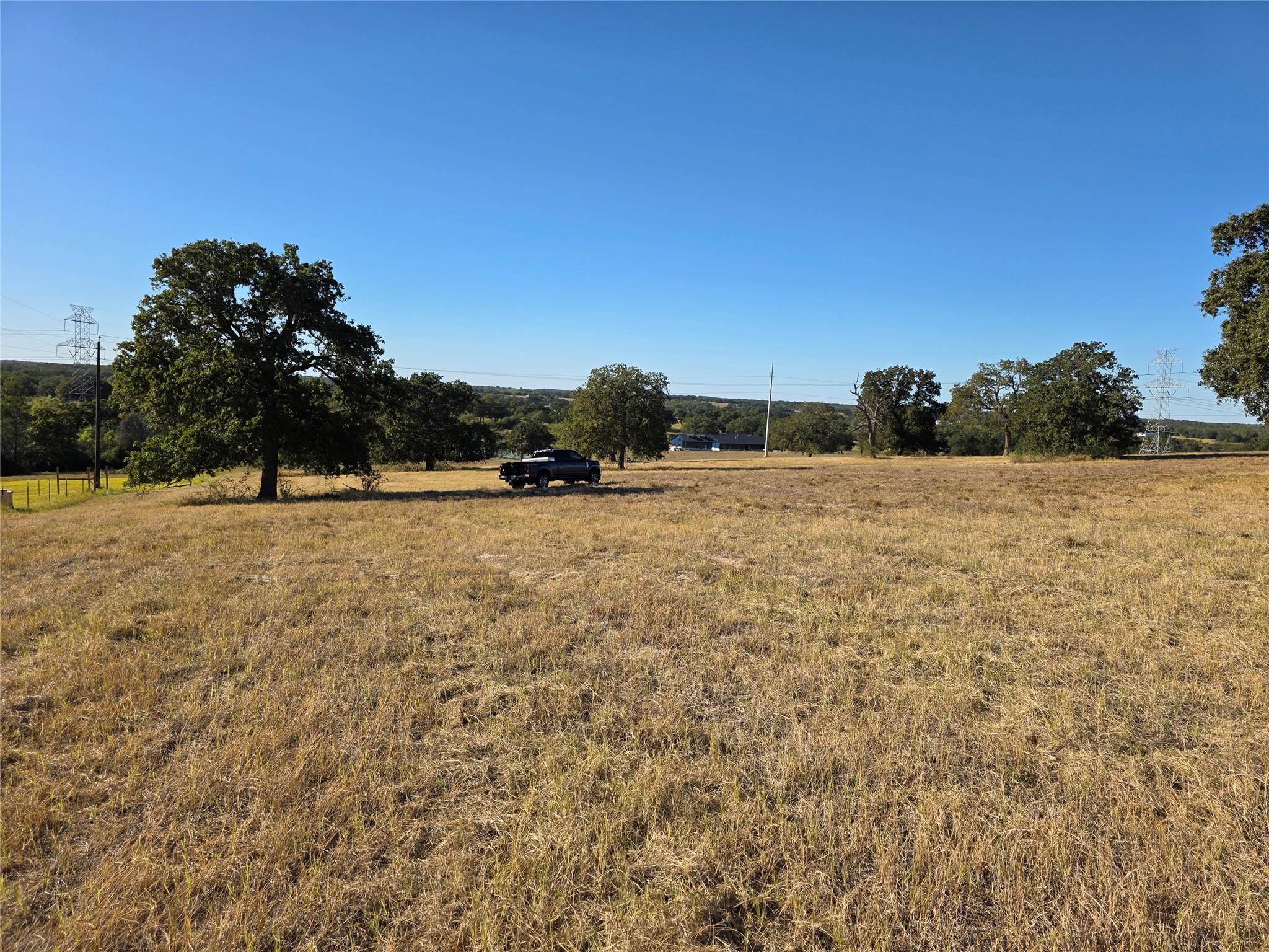
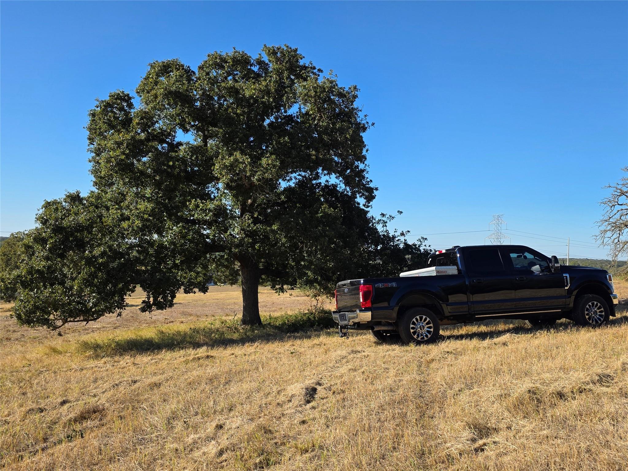
View of grassy yard with a view of countryside
View of green lawn with a rural view
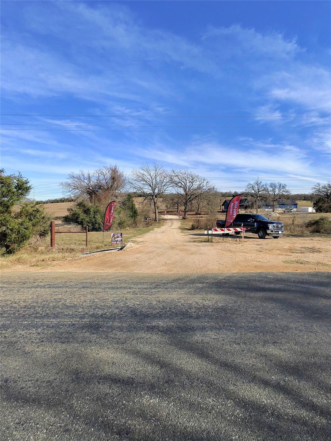
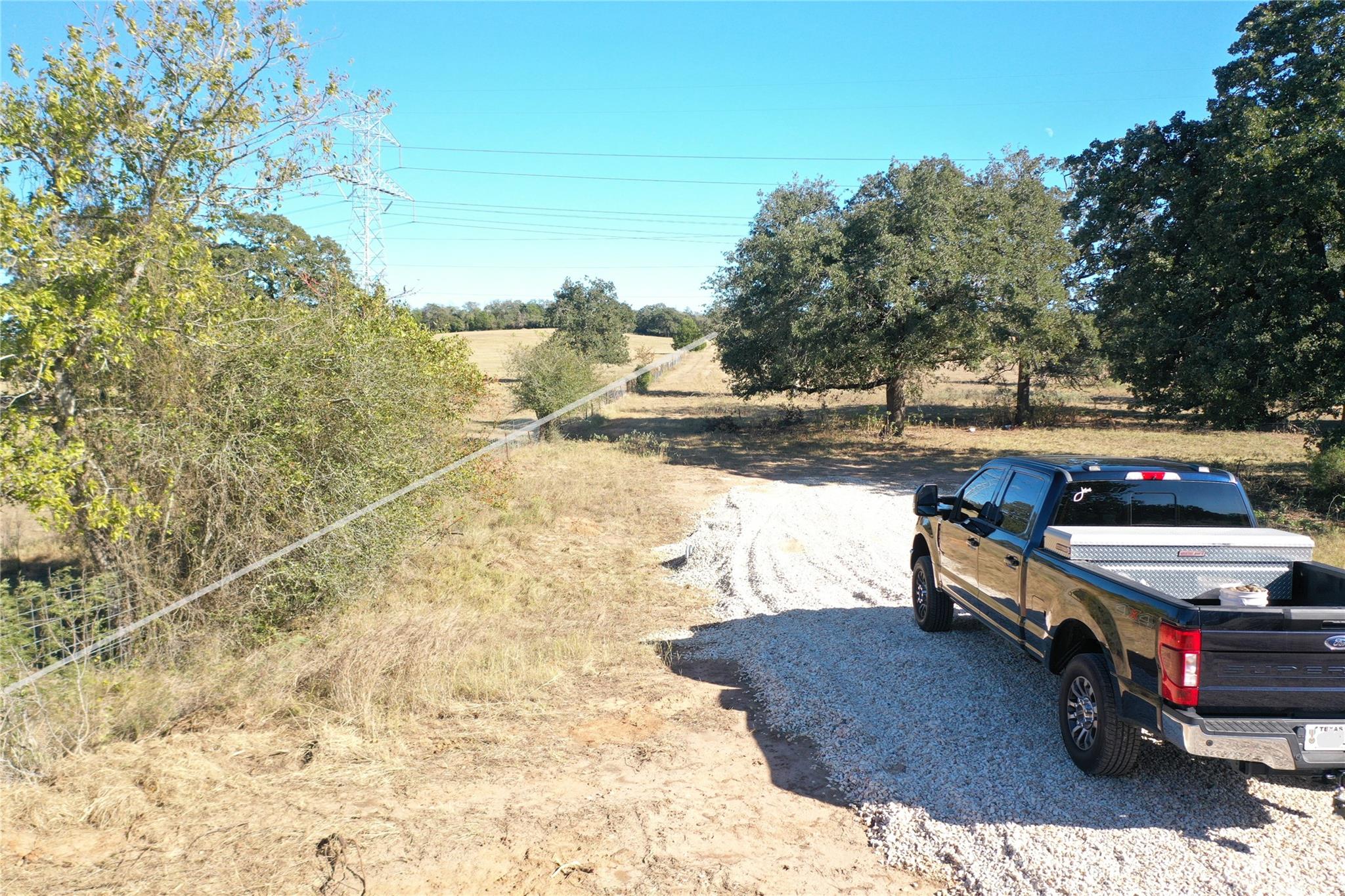
View of driveway headed to lot from CR 481
View of driveway headed to lot from CR 481
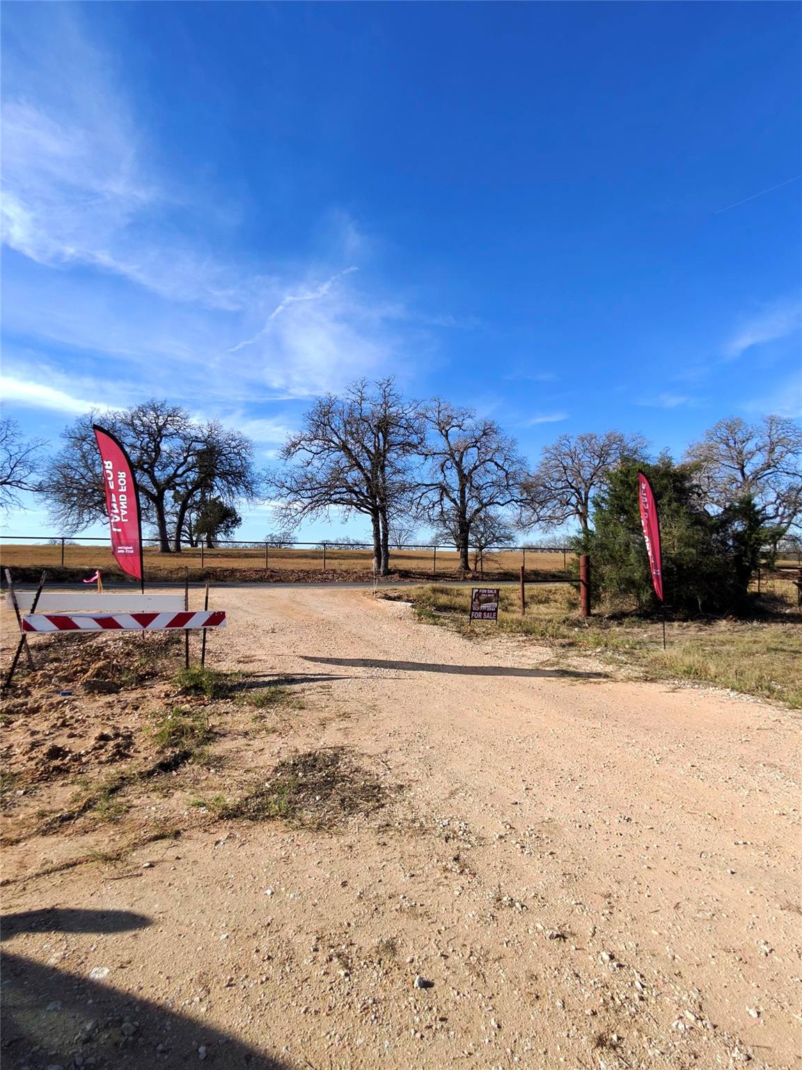
View of Driveway, headed to County Road 481
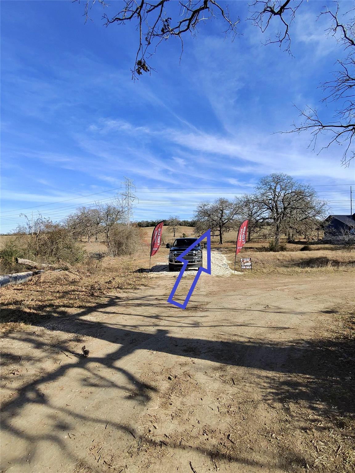
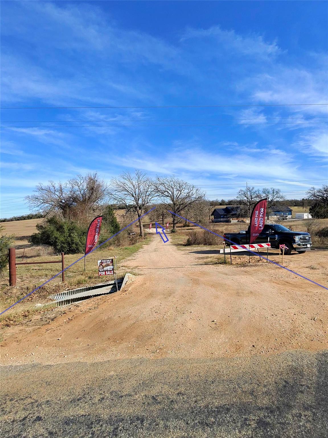
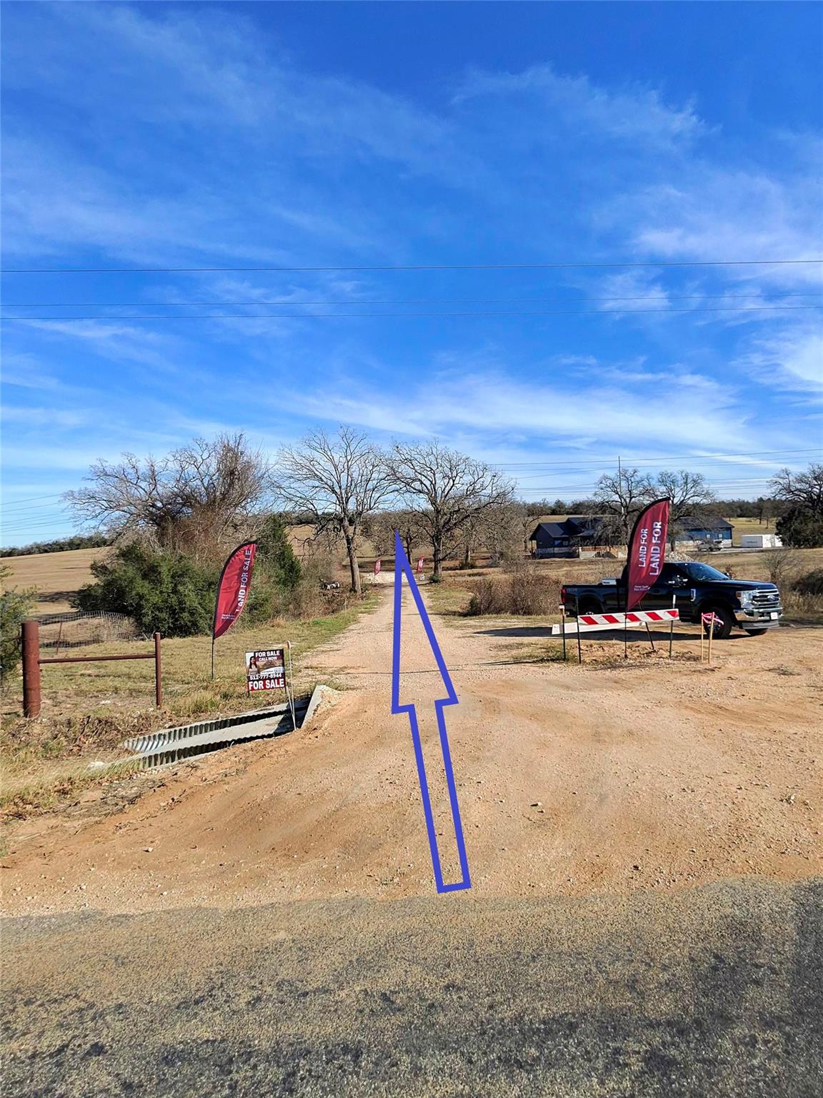
Directional arrow pointing where to drive to access the open part of lot
This is the deeded and also shared driveway to access the lot
Directional arrow pointing where to drive to get to where lot opens up
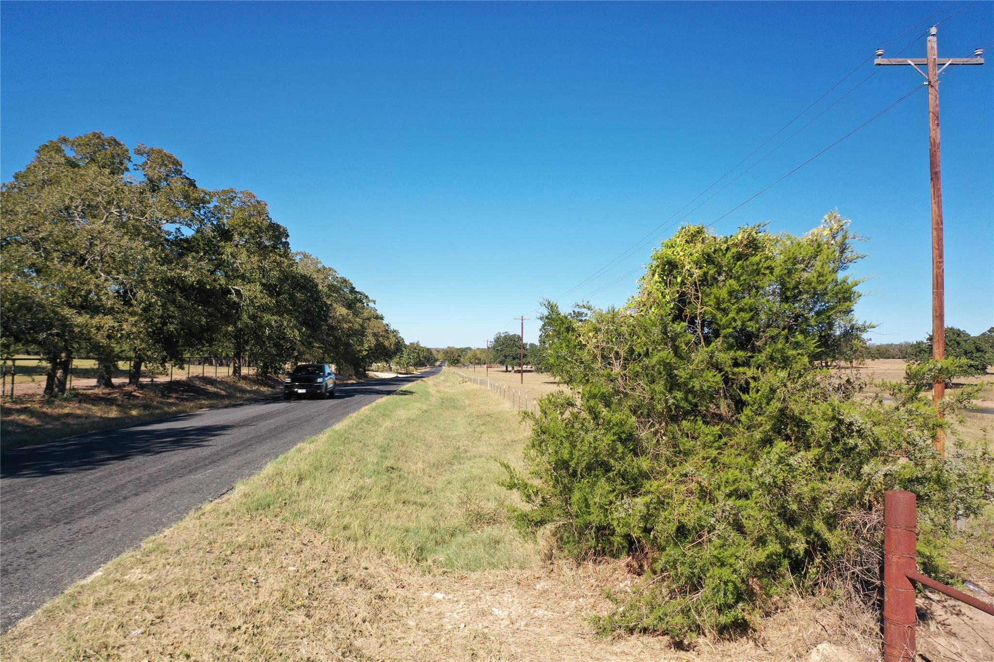
View of street featuring a view of rural / pastoral area
Lot lines shown in photos are approximate and for illustrative purposes only. The attached survey is the governing document and controls all boundary locations.
Lot lines shown in photos are approximate and for illustrative purposes only. The attached survey is the governing document and controls all boundary locations.
View of yard with a view of countryside
Lot lines shown in photos are approximate and for illustrative purposes only. The attached survey is the governing document and controls all boundary locations.
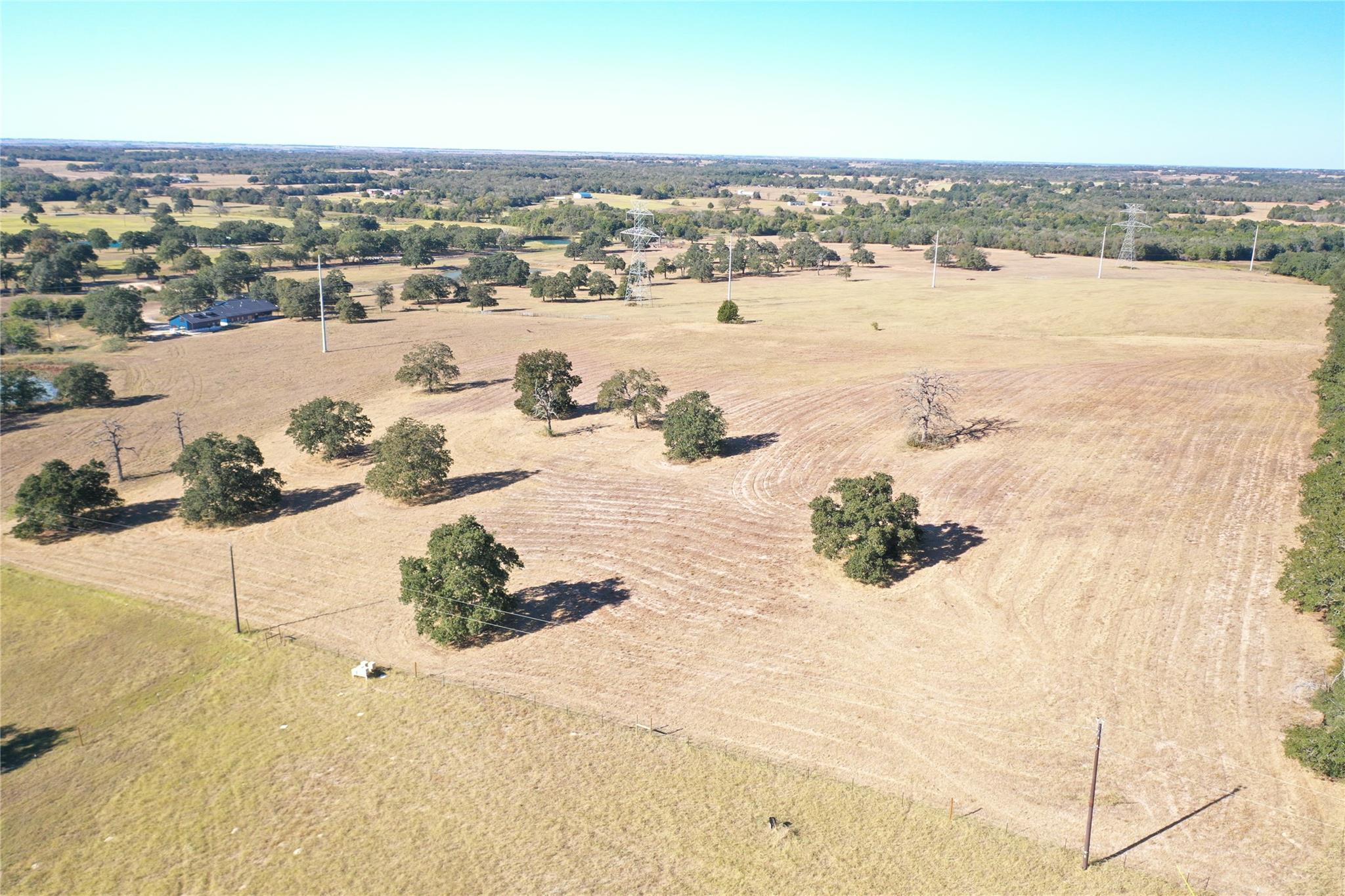
Aerial overview of property's location featuring rural landscape
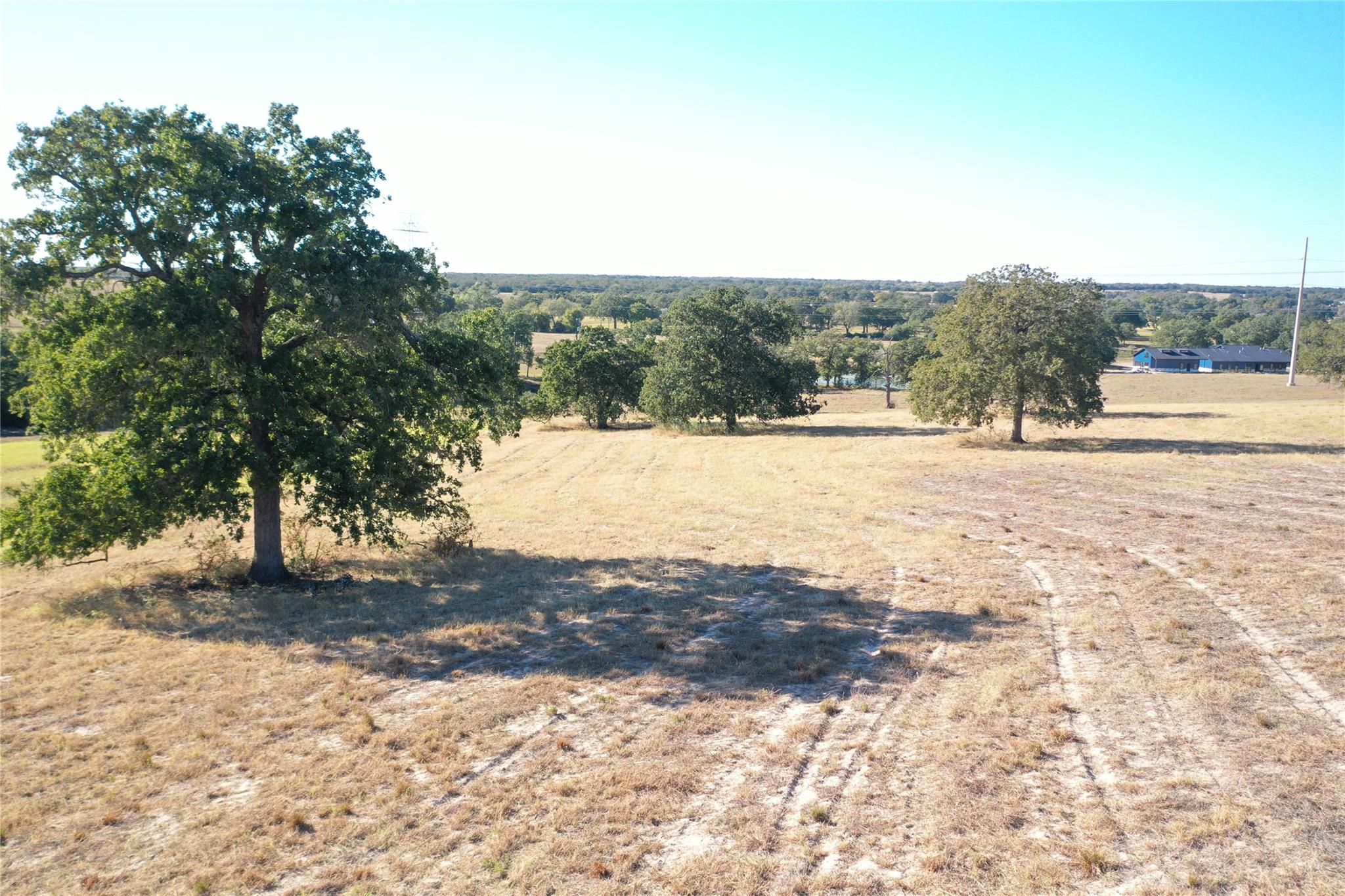
View of the rolling hills, great place to build a home
Lot lines shown in photos are approximate and for illustrative purposes only. The attached survey is the governing document and controls all boundary locations.
Overview of rural landscape
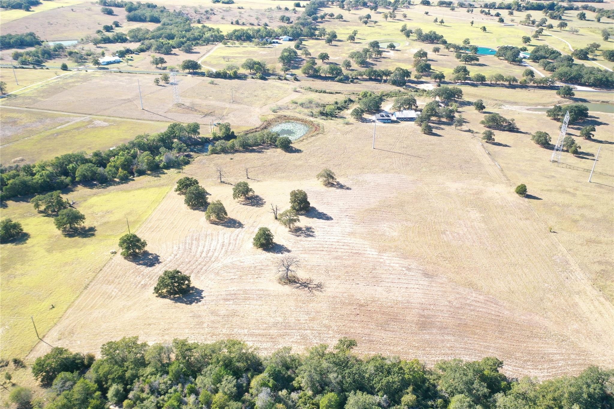
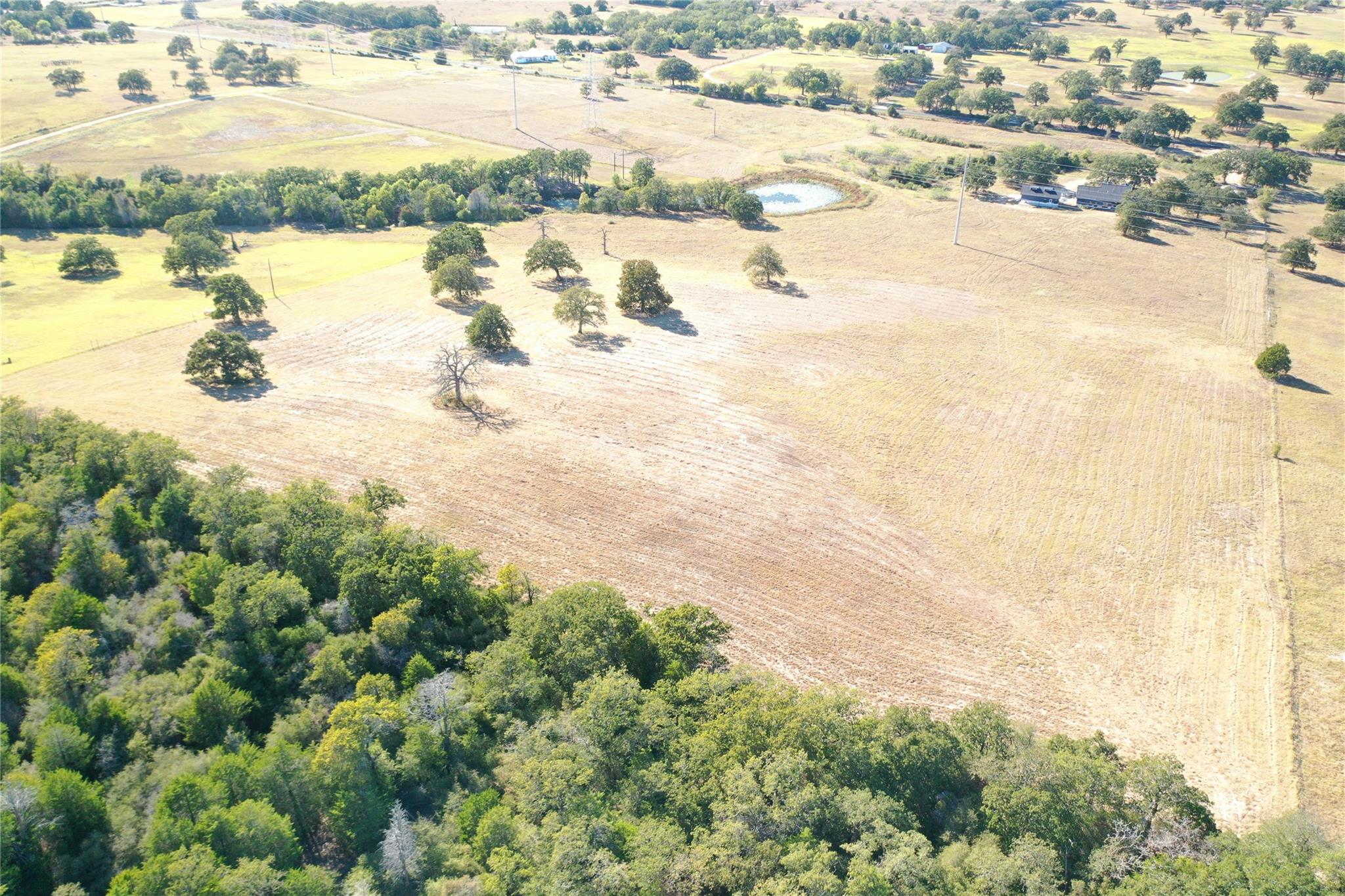
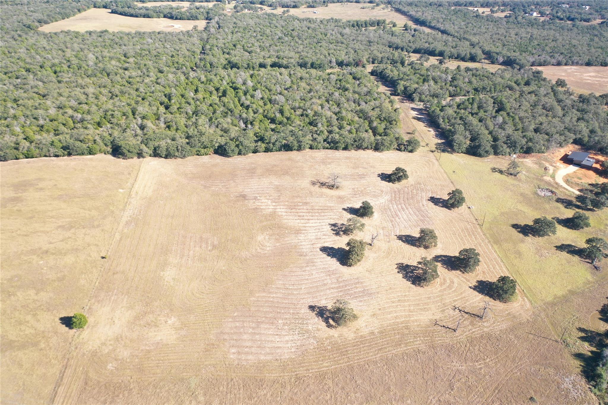
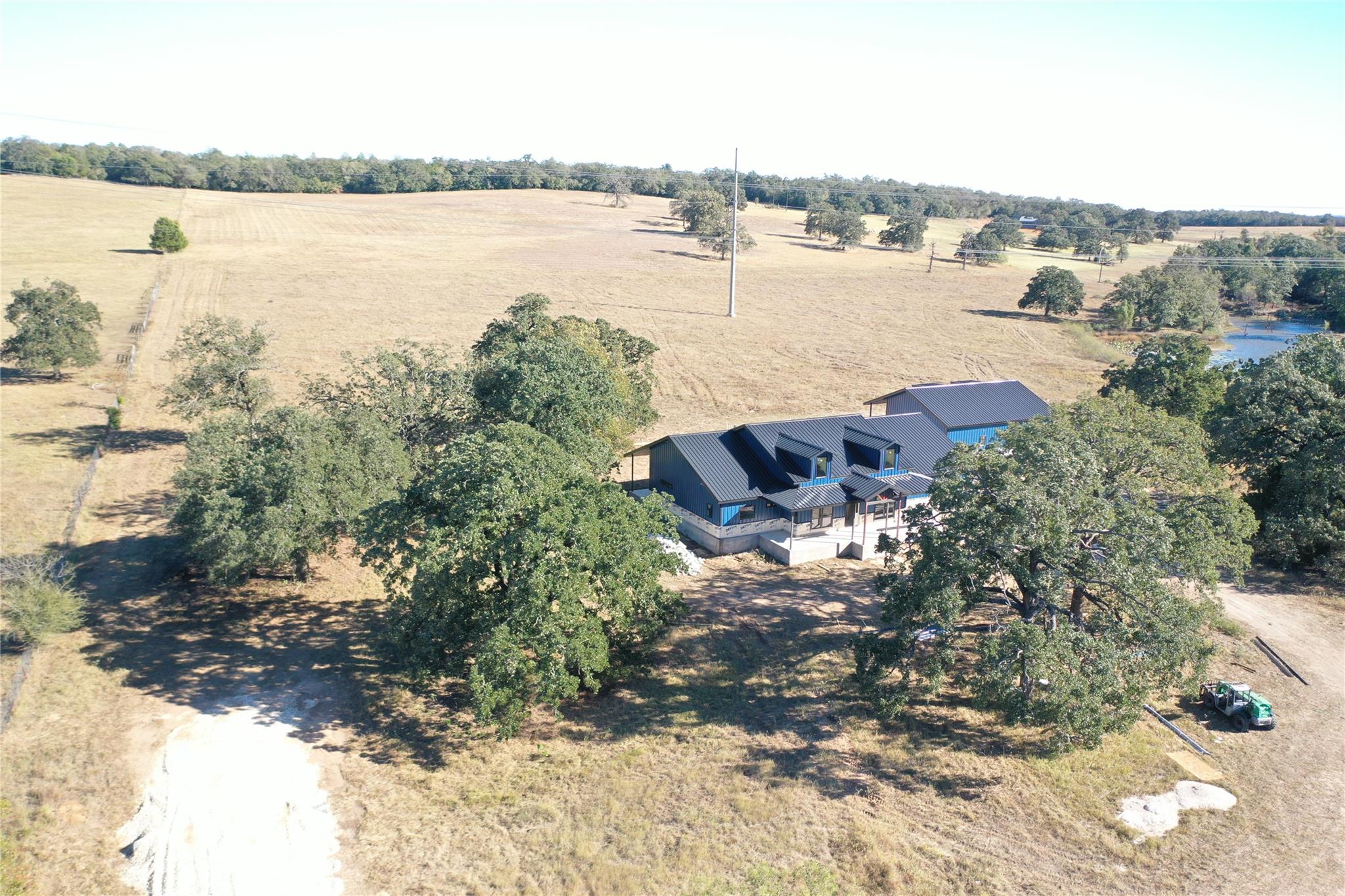
Aerial view of property and surrounding area with a forest
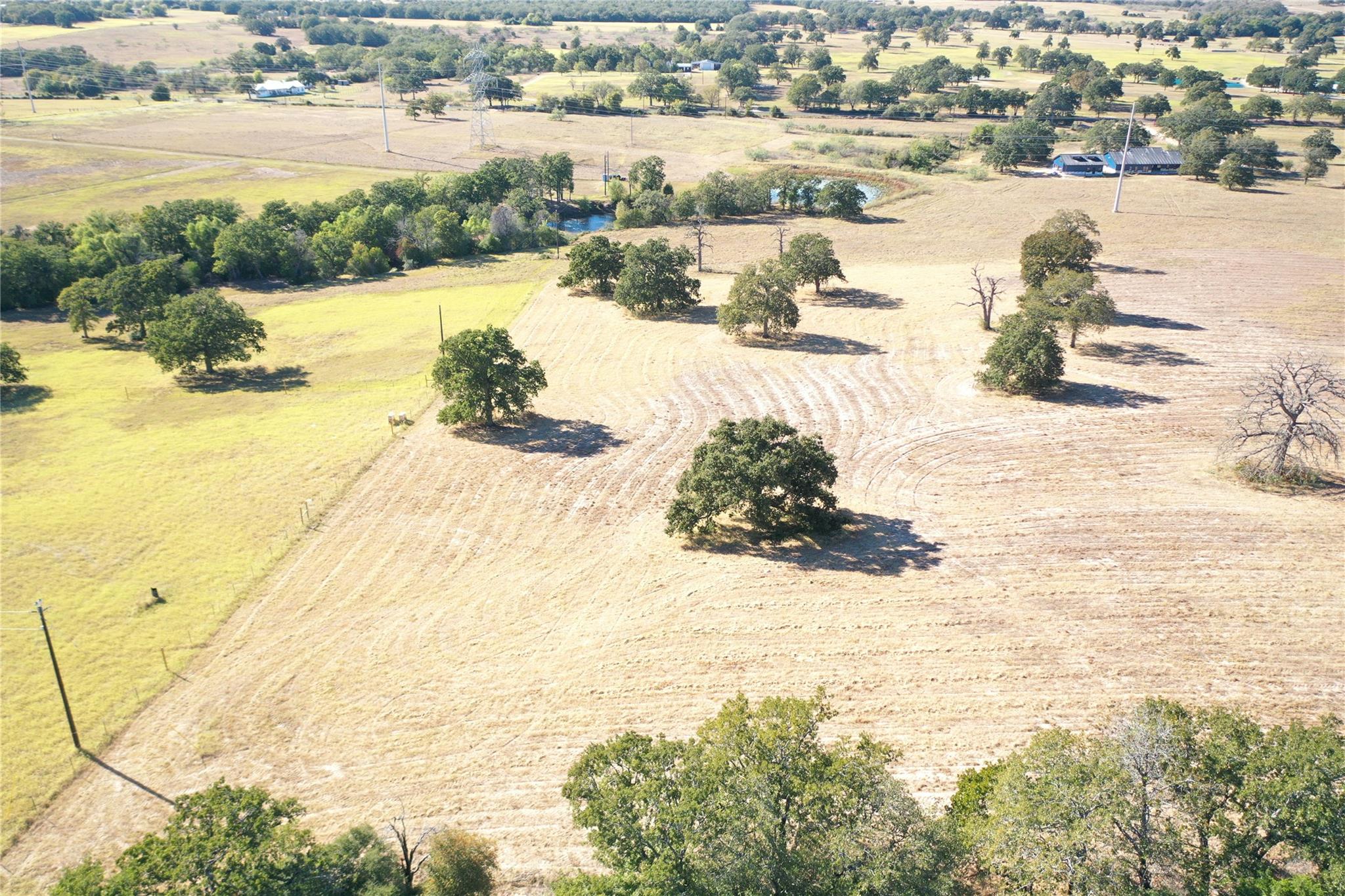
Aerial view of sparsely populated area
Aerial view of sparsely populated area
Aerial view of sparsely populated area
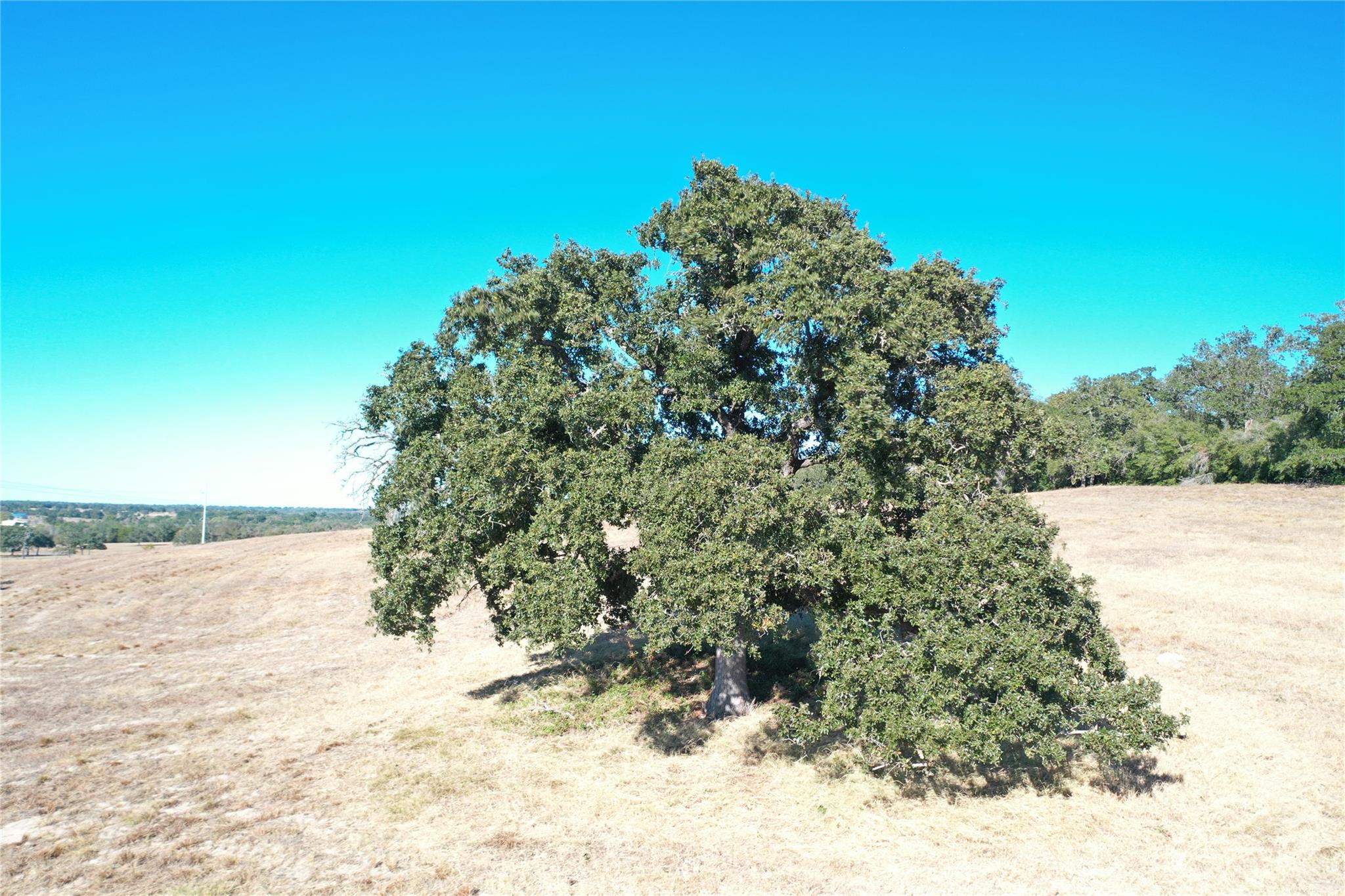
View of nature with rural landscape
View of dirt / gravel road featuring a view of countryside
Lot lines shown in photos are approximate and for illustrative purposes only. The attached survey is the governing document and controls all boundary locations.
Lot lines shown in photos are approximate and for illustrative purposes only. The attached survey is the governing document and controls all boundary locations.
View of yard featuring a view of countryside
Lot lines shown in photos are approximate and for illustrative purposes only. The attached survey is the governing document and controls all boundary locations.
Lot lines shown in photos are approximate and for illustrative purposes only. The attached survey is the governing document and controls all boundary locations.
Lot lines shown in photos are approximate and for illustrative purposes only. The attached survey is the governing document and controls all boundary locations.
Lot lines shown in photos are approximate and for illustrative purposes only. The attached survey is the governing document and controls all boundary locations.
View of yard with a rural view
Lot lines shown in photos are approximate and for illustrative purposes only. The attached survey is the governing document and controls all boundary locations.boundaries highlighted

 Price Reduced Listing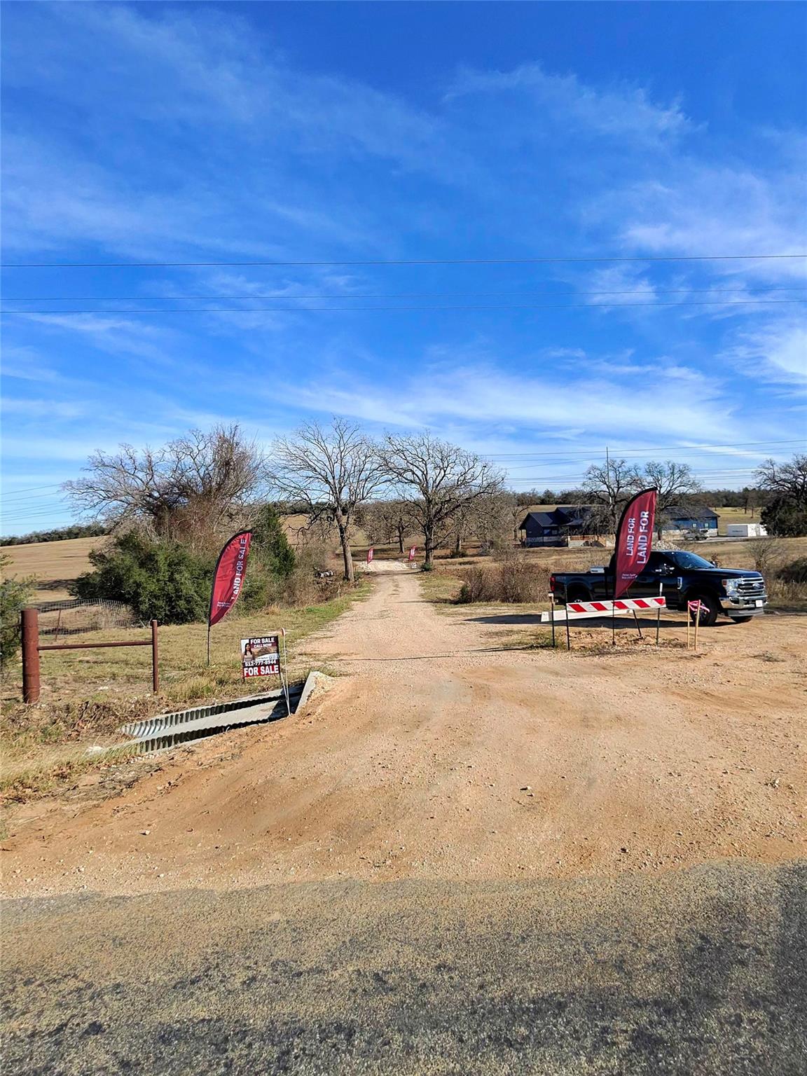

 Listings courtesy of Austin Board of REALTORS® MLS as distributed by MLS GRID.